Navigating the map
By Nathan ColeUpdated
The map fills the right half of every page of the workspace. It is the same map everywhere: pan and zoom on Orders, and the Optimize page opens at the same spot. This page covers the control stack, the search box, the right-click lookup, and how to read the pins.
The examples use the Time windows plan (12 orders, 2 vans). Load it:
The control stack
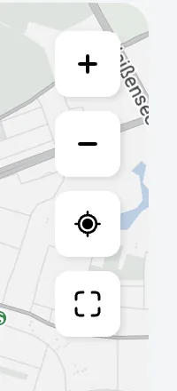
The buttons in the top-right corner of the map, top to bottom:
- Zoom in and Zoom out. The buttons gray out at the zoom limits.
- Find my location moves the map to the location your device reports, with a short blue pulse at the spot. Use it when a plan opens far from your location.
- Show all features zooms out (or in) so every pin on the current page fits in view. Use it to return after panning, and to check that geocoding did not put an order in the wrong city.
Search the map
The search box in the top-left corner of the map looks up any address or place and pins the results. Basemaps and Street View™ covers the map imagery and the street-level view.
Right-click lookup
Right-click on the map to look up the address at that coordinate. A card opens with the nearest address and the coordinates. Click any line on the card to copy it.
The lookup is also the starting point for adding a place that address search cannot find, such as a rear gate or a yard entrance. Edit orders, depots, and addresses on the map covers turning the looked-up point into an address.
Reading the pins
Pin appearance changes after optimization:
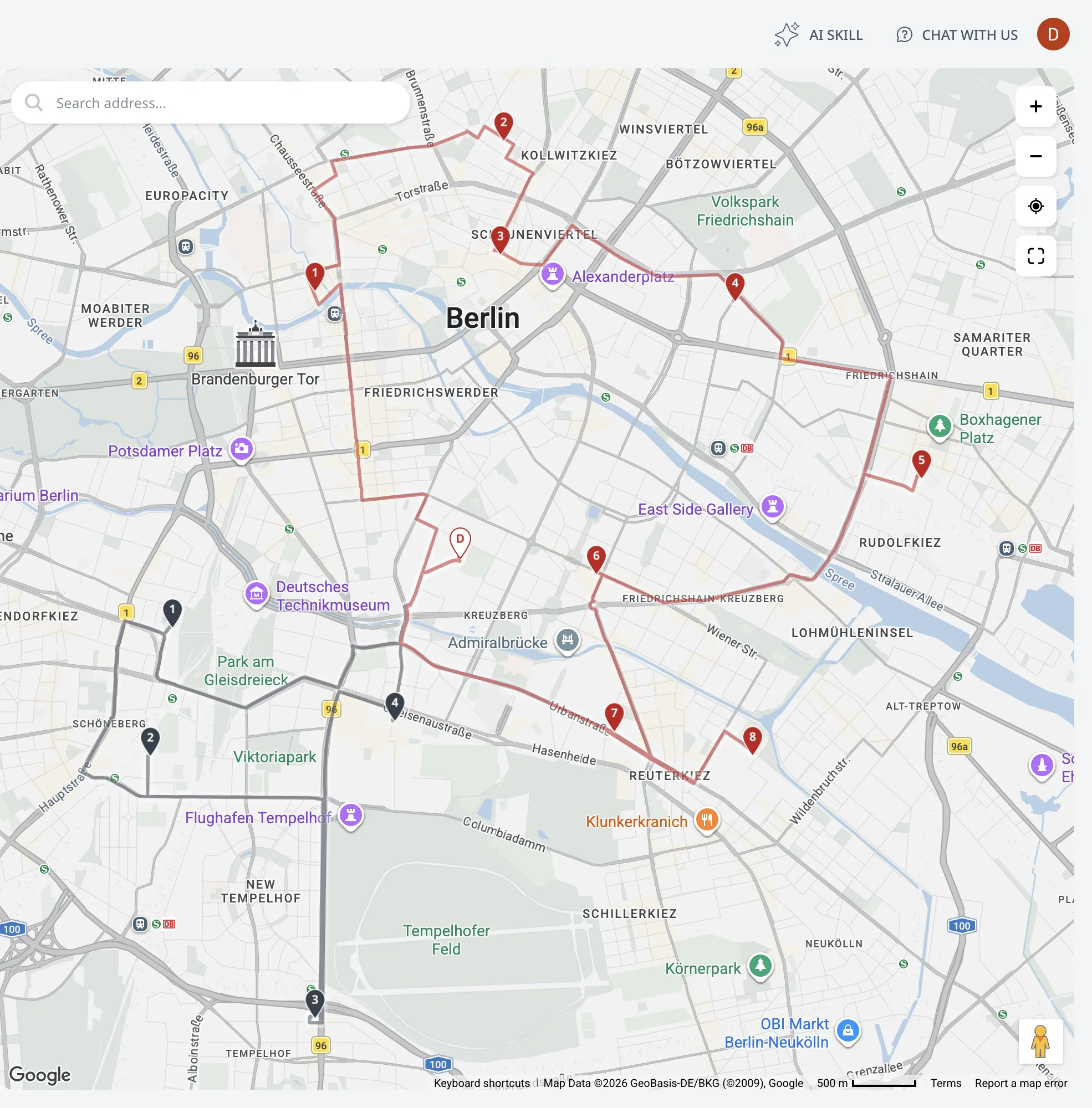
- Before optimization (Orders, Depots, Address Book pages): every located entry is a plain dark pin, with no numbers and no colors. Use the map on these pages to check pin locations before optimizing.
- After optimization (Optimize page): each stop pin is filled with its route's color and numbered in visiting order. Depots show as white pins with a colored rim and a D. The route line connecting the stops uses the same color. To draw one route at a time, use the controls in View a single route vs. all routes.
- Unassigned orders show as white pins with a red rim and a soft red glow underneath. Red on the map marks an unassigned order. Why an order went unassigned lists the reasons.
Click any pin to open a card with its details. Click empty map space to close it. Edit orders, depots, and addresses on the map covers the card on the editor pages. Optimization results on the map covers it on the optimized map.
Show all features fits every pin back in view. A click on empty map space closes any open card.
Next step
Edit the data behind the pins in Edit orders, depots, and addresses on the map.
FAQ
How do I get every stop back in view?
Press Show all features in the map's control stack: it zooms out, or in, so every pin on the current page fits in view. Use it to return after panning, and to check that geocoding did not put an order in the wrong city. The control stack is in the top-right corner of the map.
What do the pin colors and numbers mean?
Before optimization every located entry is a plain dark pin. After optimization each stop pin is filled with its route's color and numbered in visiting order, depots show as white pins with a colored rim and a D, and unassigned orders show as white pins with a red rim and a soft red glow.
How do I look up an address on the map?
The search box in the top-left corner looks up any address or place and pins the results. Right-click anywhere to look up the address at that coordinate: a card opens with the nearest address and the coordinates, click a line to copy it.
Is the map the same on every page?
Yes. The map fills the right half of every page of the workspace, and it is the same map everywhere: pan and zoom on Orders, and the Optimize page opens at the same spot. Click any pin to open a card with its details, and click empty map space to close it.